
Point Cloud Technology
At Reaclima, we are currently adopting new technologies to improve the quality, accuracy, and efficiency of our projects. As part of this evolution, we have implemented a solution that allows us to generate point clouds for the various projects we execute.
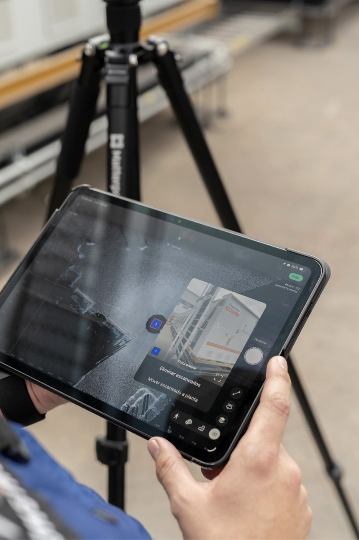
The technology used to generate point clouds is a 3D laser scanner based on LiDAR technology. This system is capable of capturing millions of data points per second, accurately recording the real geometry of existing spaces. From this data, we obtain what is known as a point cloud, a highly precise digital representation of the physical environment.
Benefits of Using Point Cloud Technology
As-Built Models
Enables the creation of highly reliable as-built models that accurately reflect real site conditions of the project, even when deviations from original drawings exist.
Existing Facility Surveys
Facilitates fast and safe data capture of existing installations, reducing the need for manual measurements and minimizing field errors.
High Accuracy
Provides a high level of geometric and dimensional accuracy, improving decision-making during design, coordination, and construction phases.
Rework Reduction
By having accurate and detailed information from the early stages, project clashes, last-minute changes, and correction-related costs are significantly reduced.
Cost Reduction
Having access to real site data information at early stages of the process, reduces rework, on-site changes, and material waste, resulting in substantial time and cost savings throughout the construction process.
BIM Integration
Point cloud data can be directly integrated into BIM platforms such as Revit, improving interdisciplinary coordination and optimizing model development.
Conclusion
The implementation of 3D laser scanning with point cloud technology represents a significant advancement for Reaclima in the way projects are planned, designed, and executed. Having accurate and reliable information from the earliest stages improves coordination across disciplines and reduces uncertainty throughout the project lifecycle.
This technology also enables significant labor-hour savings by reducing field survey time, minimizing repeat site visits, and preventing corrections caused by incomplete or inaccurate data. As a result, staff resources are optimized, team productivity is increased, and decision-making is strengthened.
Ultimately, this translates into lower project costs, higher operational efficiency, and improved overall project quality, consolidating Reaclima’s position as a company committed to innovation and technical excellence.


